
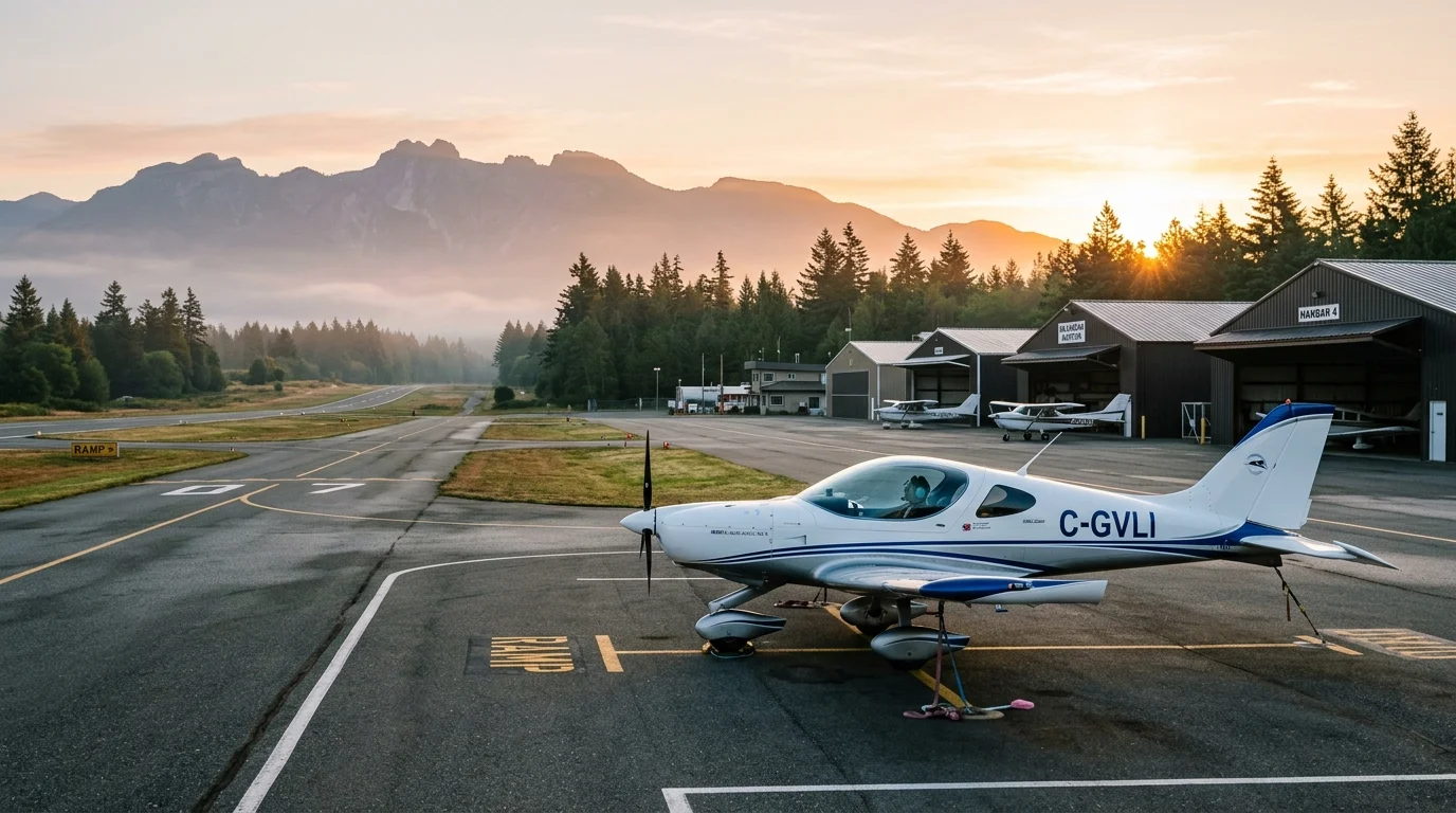
Aerodrome Identifier: CAM3
Duncan Airport (CAM3)
The home base of Action Ultralights Unlimited. Located in the Cowichan Valley midway between Victoria and Nanaimo on Vancouver Island, British Columbia.
Live Camera Feeds
Duncan Airport Webcams
Images upload automatically every 2 minutes. Click any image to open full resolution.
|
Next update:
2:00
North Camera (Facing North)
Full Size
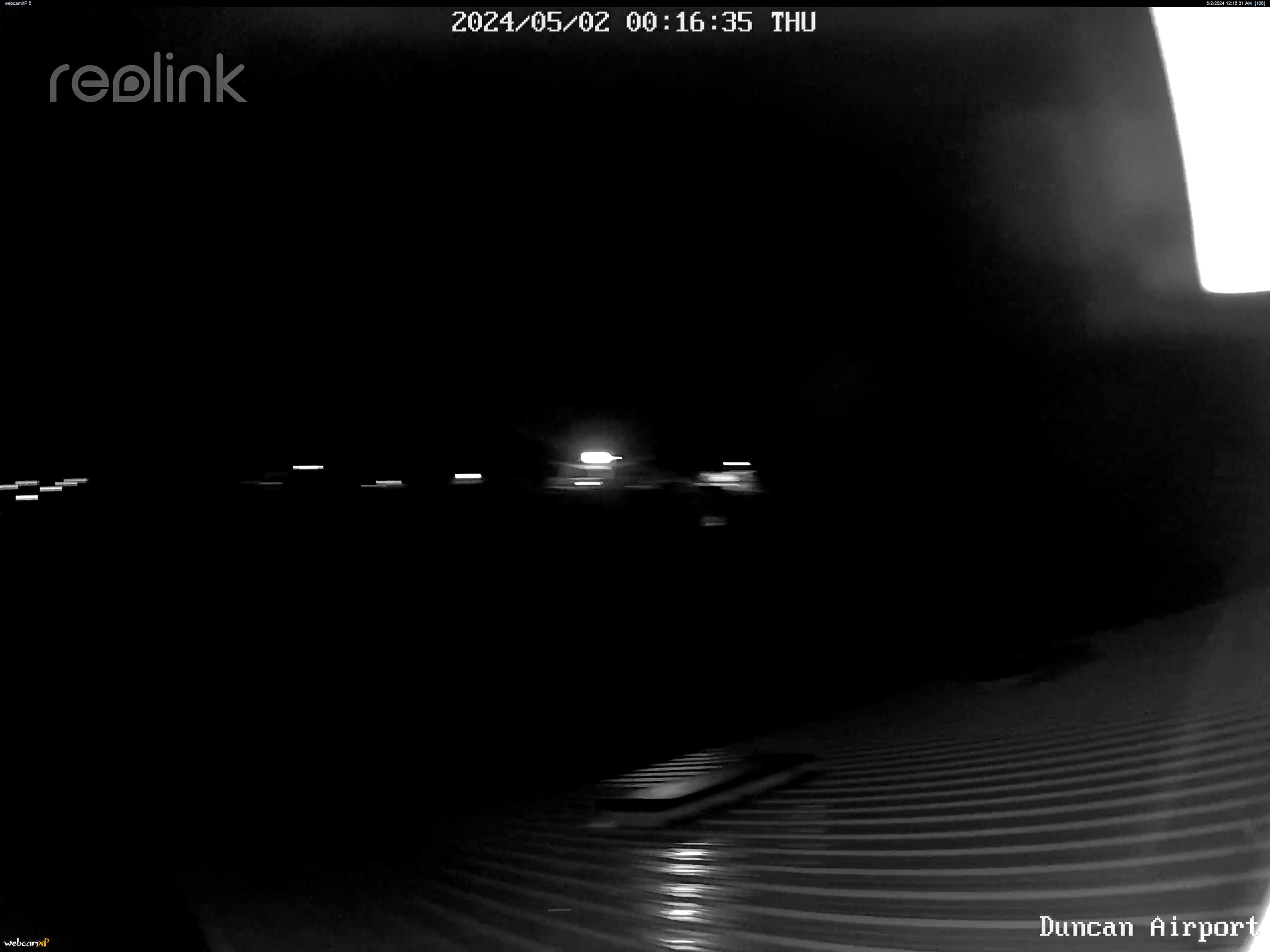

RWY 31 DEPARTURE / NORTH VIEW
Live Feed from Duncan Airport CAM3
East Camera (Facing East)
Full Size


APRON & RUNWAY 13 APPROACH / EAST VIEW
Live Feed from Duncan Airport CAM3
Need highway weather? Check the DriveBC Vancouver Island Highway Cameras
Hosted with support from Steve Morley & Island Computer Services
AVIATION NOTICE: NOT FOR NAVIGATION PURPOSES.
This operational data is provided for flight training orientation and general aerodrome familiarization only. Pilots in command must consult the official Canadian Flight Supplement (CFS) and current Kamloops FIC NOTAMs prior to flight planning.
Duncan Butler Airport — CAM3 Specifications
| IDENTIFIER / ELEV | CAM3 • Elevation 300' ASL |
| COORDINATES | N48° 45' 30" W123° 43' 00" (Adj SSW 20'E) |
| TIME ZONE | UTC -8 (-7 in PDT) • VTA A5004 • E-15 |
| COMMUNICATIONS | ATF 122.8 MHz (Traffic 5 NM radius up to 3300' ASL except area within Class C airspace) |
| RUNWAY DATA |
Rwy 13/31: 1,520' × 30' Asphalt Threshold 13 displaced 70' Rwy 31 slope: 0.5% up Taxiway at North end off button of 13; aircraft must backtrack to use 31. |
| TRAFFIC CIRCUITS |
Right hand circuits for Rwy 13 Left hand circuits for Rwy 31 On leaving Rwy 31, head 290° until clear of subdivision to avoid noise sensitive areas. |
| OPERATOR | Duncan Flying Club • Tel: 250-216-8001 (Regulated) |
| OPERATIONAL CAUTIONS |
Trees on approach to 31. Cliff on approach to 13. Downdrafts, crosswinds, and windshear may be encountered. Recommended only for pilots familiar with short field landings. |
| FLIGHT PLANNING / WX |
Kamloops FIC: 1-866-WXBRIEF (866-992-7433) NOTAM File: CYCD • Services: S 4, 5 |
Aerodrome Layout
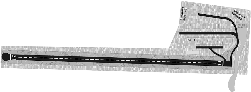 CAM3 Runway & Apron Schematic Diagram
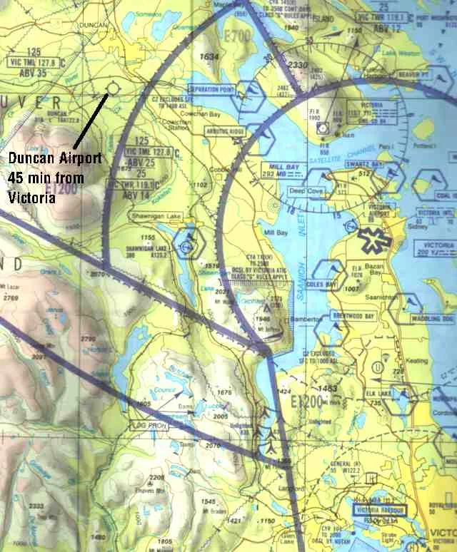 Vancouver Island VFR Terminal Area Chart Excerpt
Aerial Runway Perspectives (CAM3)
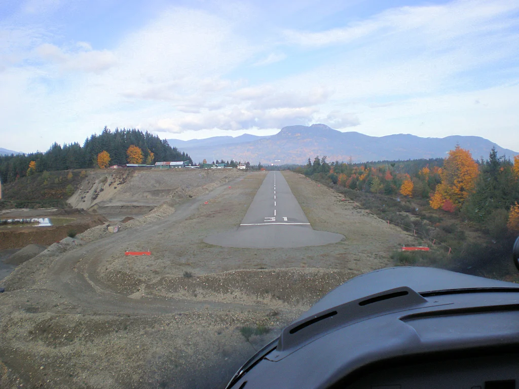
Final for Runway 31
Trees on approach
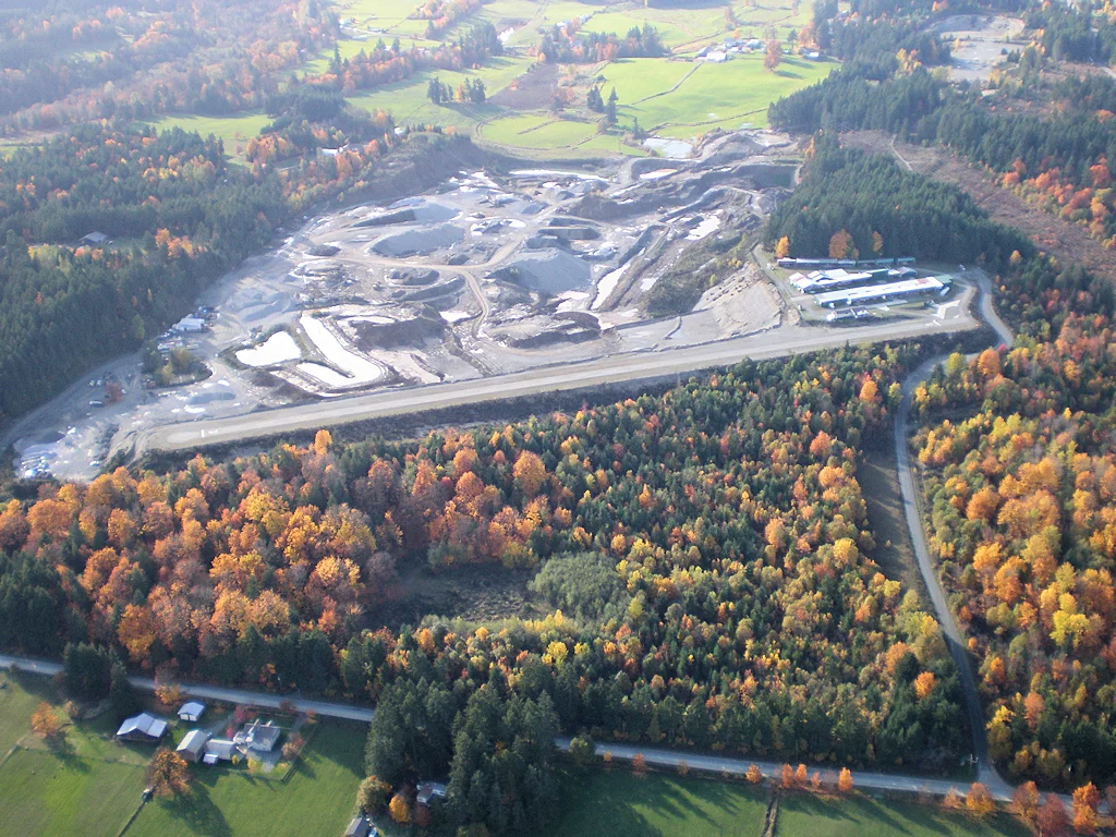
Crossing Midfield / Downwind
Runway 13/31 circuit view
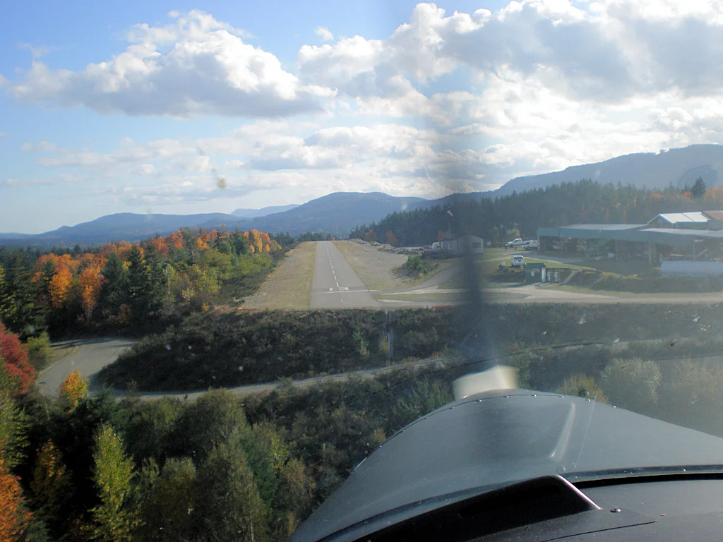
Final for Runway 13
Cliff approach / displaced threshold
Visiting CAM3
Driving Directions
Duncan Airport is situated at 5100 Langtry Rd. in the Municipality of North Cowichan on Vancouver Island. It is easily accessible from Trans-Canada Highway 1:
- 1 From Victoria (South): Follow Trans-Canada Hwy 1 North over the Malahat past Duncan (approx. 45-50 min). Turn west toward Langtry Rd.
- 2 From Nanaimo (North): Take Trans-Canada Hwy 1 South past Ladysmith toward Duncan (approx. 40-45 min).